Quetzaltenango, known as Xela, is Guatemala’s second city, at 2,330 m in the western highlands. Its K’iche’ name, Xelajú, means “under ten mountains.” It was near here that Pedro de Alvarado defeated the K’iche’ and their leader Tecún Umán in 1524, and here that the short-lived state of Los Altos tried to break away in 1838. Cooler and less touristy than Antigua, it is the base for volcanoes, hot springs and K’iche’ villages, and one of the country’s main centres for learning Spanish.

Quetzaltenango (Xela): Guatemala’s highland second city
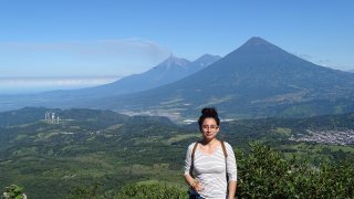
Quetzaltenango sits at 2,330 m, higher and cooler than Antigua, in the heart of the K’iche’ Maya highlands. Most people call it Xela, short for its K’iche’ name Xelajú, “under ten mountains,” for the ring of peaks around it. It is a working city built around the neoclassical Parque Centro América, not a tourist town.
That is the appeal. Xela draws travellers who want the highlands without the polish, people studying Spanish or using it as a launch point for the surrounding altiplano, with a café and student life and prices below Antigua’s.
A short history: Tecún Umán, coffee and a breakaway state
The plain outside Xela, the Llanos del Pinal, was the site of a defining battle of the conquest. In 1524 Pedro de Alvarado, with Indigenous allies, defeated the K’iche’ army; their leader Tecún Umán died in the fighting and is now a national hero, said in legend to have been accompanied by a quetzal.
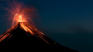
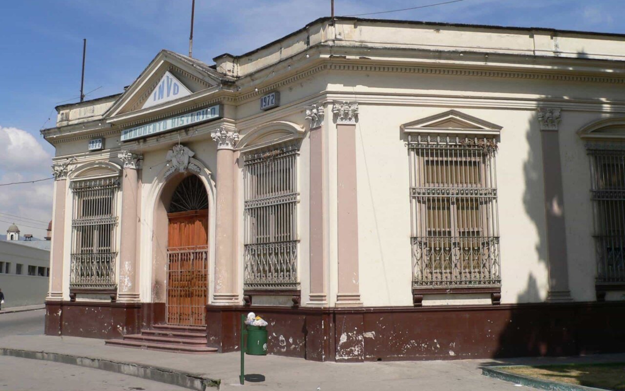
Three centuries later Xela tried to go its own way. From 1838 to 1840 it was the capital of the Estado de Los Altos, an attempt to form a sixth state in the Federal Republic of Central America, before the army of Rafael Carrera brought it back under Guatemala City. The coffee boom of the late 19th century paid for the grand neoclassical buildings that still ring the centre. In 1902 the nearby Volcán Santa María erupted catastrophically, reshaping the region and giving rise to the Santiaguito lava dome that is still active today.

What to do around Quetzaltenango
The city is pleasant for a day, but its value is as a base for the altiplano:
- Fuentes Georginas: thermal pools on the forested slopes above Zunil, the region’s best-known hot springs.
- San Andrés Xecul: a village church with a vivid yellow facade covered in painted saints, animals and vines.
- Santa María and Santiaguito: a demanding dawn hike up Santa María overlooks the active Santiaguito vent; see our volcanoes of Guatemala.
- Laguna Chicabal: a sacred crater lake and Maya ceremonial site on Volcán Chicabal.
- Zunil and Almolonga: K’iche’ market and farming villages, with the San Simón (Maximón) shrine at Zunil.
Xela beyond the guidebook
Few travellers scratch below the surface of a city they treat as a transit point:
- Visit Almolonga at dawn, the valley called “America’s vegetable garden,” where volcanic soil and hot springs grow produce the size of a forearm, trucked across the country.
- Pay respects to San Simón in Zunil, the folk saint (Maximón) who receives cigarettes and liquor and moves house each year, an unvarnished look at highland folk religion.
- Eat in the Minerva market comedores rather than the square, and try caldo de res with the traders.
- Take a week of one-on-one Spanish, the local institution that funds much of the city and gets you into K’iche’ homes.
- Climb for Santiaguito, not Santa María’s summit alone, timing the dawn to catch the dome venting below you.
Where Quetzaltenango fits in a trip
Xela is the gateway to the deeper western highlands, the K’iche’ heartland most tour routes skip. It rewards travellers who want culture and volcanoes over polish, and it links east to Lake Atitlán and the market at Chichicastenango. It anchors our active highland itineraries:
- Panorama of Guatemala: the two-week highlands loop.
- The Great Mayan March: a highland hiking route.
- Volcano tour: for Santa María and the active cones.
See all our regions of Guatemala.
How to get to Quetzaltenango
| From | Distance | Time | Notes |
|---|---|---|---|
| Lake Atitlán (Panajachel) | ~55 km | 1 h 30 | Easy western-highlands pairing |
| Antigua | ~150 km | 3 h 30 | Shuttles via the Pan-American Highway |
| Guatemala City | ~200 km | 4 h | Direct Pullman buses |
| Chichicastenango | ~95 km | 2 h 15 | Combine on a market day |
Xela is the hub of the far western highlands, with onward roads to Huehuetenango and the Mexican border.
FAQ: Quetzaltenango (Xela)
Where is Quetzaltenango?
In Guatemala’s western highlands, at 2,330 m. It is the country’s second-largest city, about 1 h 30 from Lake Atitlán and 3 h 30 from Antigua.
Why is Quetzaltenango called Xela?
Xela is short for Xelajú, the city’s K’iche’ Maya name, meaning “under ten mountains” for the surrounding peaks. It predates the Spanish name Quetzaltenango and is what locals use.
Who was Tecún Umán?
The K’iche’ leader defeated and killed near Quetzaltenango by Pedro de Alvarado’s forces in 1524. He is a Guatemalan national hero, linked in legend to the quetzal.
What is there to do in Quetzaltenango?
Use it as a base for the Fuentes Georginas hot springs, the yellow church of San Andrés Xecul, hikes on Santa María and to Laguna Chicabal, and the villages of Zunil and Almolonga. The city centres on Parque Centro América.
Is Quetzaltenango good for learning Spanish?
Yes. Xela is one of Guatemala’s main centres for Spanish immersion, with many one-on-one schools and a quieter, more local setting than Antigua.
What was the Estado de Los Altos?
A short-lived attempt, from 1838 to 1840, to form a sixth state in the Federal Republic of Central America, with Quetzaltenango as its capital, before it was reincorporated into Guatemala.
How many days do you need in Quetzaltenango?
Two to three days to see the city and reach the hot springs, San Andrés Xecul, Almolonga and a volcano hike or Laguna Chicabal.
Last updated: October 2026
About the author
Tristan Reger is co-founder of Terra Guatemala, a local travel agency based in Antigua. He runs the western-highlands routes around Xela, from Fuentes Georginas to Laguna Chicabal.
Sources
- Encyclopaedia Britannica / Wikipedia (Quetzaltenango, Tecún Umán, Estado de Los Altos)
- Smithsonian, Global Volcanism Program (Santa María / Santiaguito)
- INGUAT, Instituto Guatemalteco de Turismo
- Field observations, Terra Guatemala, 2026